Riegl Airborne Laser Scanners are airborne lidar systems produced by Riegl Laser Measurement Systems. They are commonly used for topographic mapping of glacial, agricultural, urban, and geological regions. Operating primarily in the near-infrared wavelength, they can function at altitudes up to about 14,000 feet, with a field of view of approximately 60 to 75 degrees, and measurement rates of around 3 MHz, depending on the lidar system.

Instrument Details
- Lidar
- Earth Science > Spectral/engineering > LidarEarth Science > Spectral/engineering > Lidar > Lidar BackscatterEarth Science > Spectral/engineering > Lidar > Lidar WaveformEarth Science > Land Surface > Topography
- Land Surface
- Variable
- Variable
- Variable
- Currently unavailable
Currently unavailable
Currently unavailable
Riegl
Currently unavailable
Currently unavailable
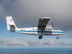 DeHavilland DHC-6-300 Twin Otter 23 Campaigns · 85 Instruments |  Olympic Mountains Experiment 2015—2016 Olympic Peninsula in U.S. Washington State 1 Deployment · 36 Data Products
| ||||||||||||||||||||||||||||||||||||||||||||||||||||||||||||||||||||||||||||||||||||||||||
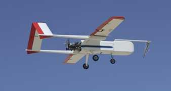 Sensor Integrated Environmental Remote Research Aircraft 2 Campaigns · 14 Instruments |  Marginal Ice Zone Ocean and Ice Observations and Processes Experiment 2013 Southern Beaufort Sea, Prudhoe Bay, Alaska 1 Deployment · 0 Data Products
| ||||||||||||||||||||||||||||||||||||||||||||||||||||||||||||||||||||||||||||||||||||||||||
 Cessna 206H Stationair 5 Campaigns · 4 Instruments |  SnowEx 2016—2023 Colorado, Idaho, Utah, Alaska 4 Deployments · 86 Data Products
 Operation IceBridge 2009—2021 Greenland, Antarctica, Alaska, Arctic Sea 37 Deployments · 79 Data Products
| ||||||||||||||||||||||||||||||||||||||||||||||||||||||||||||||||||||||||||||||||||||||||||
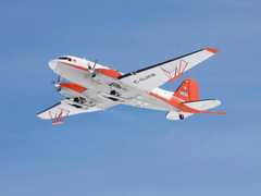 Basler BT-67 4 Campaigns · 13 Instruments |  Arctic-Boreal Vulnerability Experiment 2017—2026 Alaska, Northwestern Canada Ongoing 6 Deployments · 130 Data Products
 Operation IceBridge 2009—2021 Greenland, Antarctica, Alaska, Arctic Sea 37 Deployments · 79 Data Products
| ||||||||||||||||||||||||||||||||||||||||||||||||||||||||||||||||||||||||||||||||||||||||||
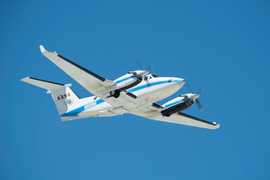 Beechcraft B-200 King Air 39 Campaigns · 84 Instruments |  SnowEx 2016—2023 Colorado, Idaho, Utah, Alaska 4 Deployments · 86 Data Products
|
Filter data products from this instrument by specific campaigns, platforms, or formats.